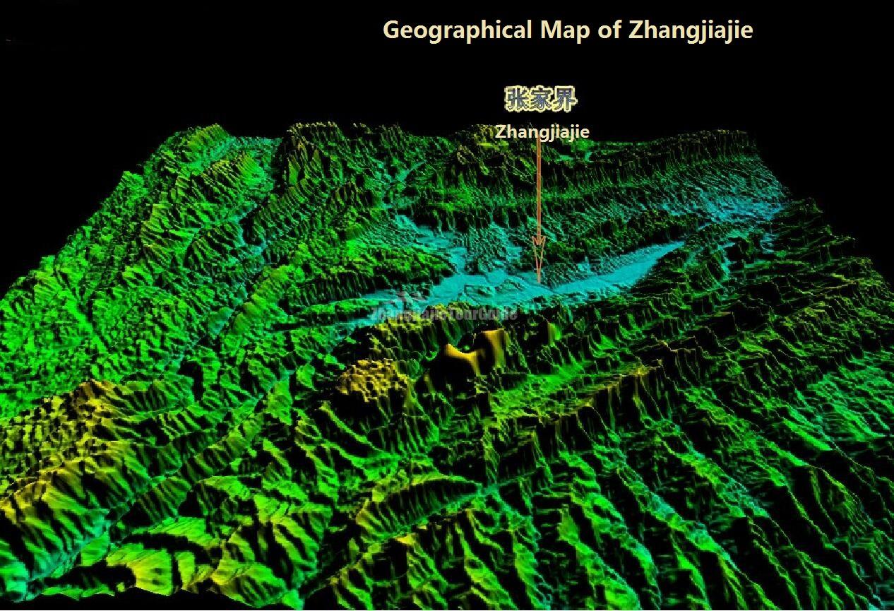
The geological formation of Zhangjiajie belongs to the New Cathaysian tectonic system. About three billion and eight thousand years ago, the area was a large patch of ocean. After a series of geological changes, including Wuling-Xuefeng, Indo-China, Yanshan, Himalayan and Geotectonic movements, the bottom of the ocean rose through the surface, and the quartzite sandstone pillars and peaks took shape after gradual cutting, eroding and crumbling by the force of Nature for millions of years.
The entire area is covered with towering cliffs of sandstone of quartz and dense unspoiled forests that conceal fantastic caves full of stalactites and stalagmites. The quartzite sandstone hills in Wulingyuan are unique for their large number and fairly pure composition (being 75-95% quartz). With the changes of seasons and weather, they constantly present different views to spectators. The highest peak in this area is Tuer Wangyue Peak (Rabbit Watching the Moon Peak). Tianzi Mountain is particularly recommended for its good panoramic view.
